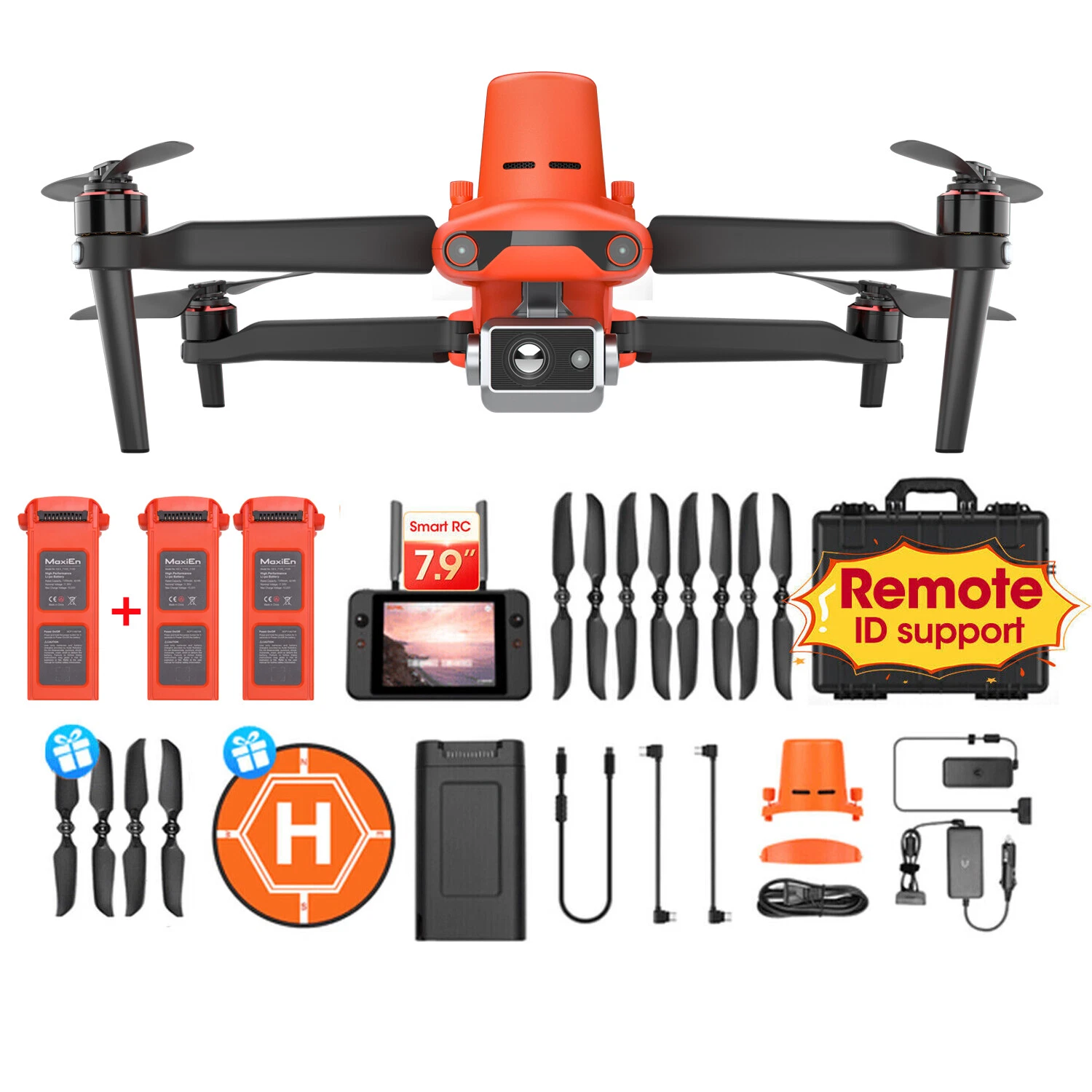
US Stock FIMI X8T 4K Drone Lnfrared Thermal Imaging Lens 3-Camera gimbal system RokLink 5.0 20KM Transmission GPS Quadcopter
If you need an extra battery for FIMI X8T, please click this page to purchase!
FIMI X8T Specifications:
Drone:
Dimensions (folded, without propellers): Length 204mm × Width 106mm × Height 72.6mm
Dimensions (unfolded, without propellers): Length 242mm × Width 334mm × Height 72.6mm
Takeoff Weight: Approx.750g
Diagonal Distance: 372mm
Max Ascent Speed: 5m/s
Max Descent Speed: 4m/s
Max Flight Speed: 18m/s *In a windless environment at sea level
Max Takeoff Altitude: ≤5000m
Max Hovering Time: Approximately 29 minutes *Measured with the aircraft stationary, camera parameters set to 720p/30fps, recording mode turned off, hovering at sea level altitude until the remaining battery level reaches 0%, for reference only. Actual flight time may vary; please pay attention to app prompts during actual flights.
Max Flight Time: 38/47 minutes *Measured with the aircraft flying forward at a speed of 25.2 km/h at sea level altitude, camera parameters set to 720p/30fps, recording mode turned off, until the remaining battery level reaches 0%, for reference only. Actual flight time may vary; please pay attention to app prompts during actual flights.
Max Tilt Angle: 35°
Max Wind Speed Resistance: 12m/s
Operating Temperature Range: 0~40°C
Satellite Navigation Systems: GPS/Galileo/GLONASS
Hovering Accuracy: Vertical: ±0.1m (when Vision Positioning is active); ±0.5m(when GPS is active)
Horizontal: ±0.3m (when Vision Positioning is active); ±0.5m (when GPS is active)
Expansion Port: 12-PIN data interface (female)
Remote Controller:
Product Weight: Approx.373g
Dimensions: 204 x 91 x 47mm