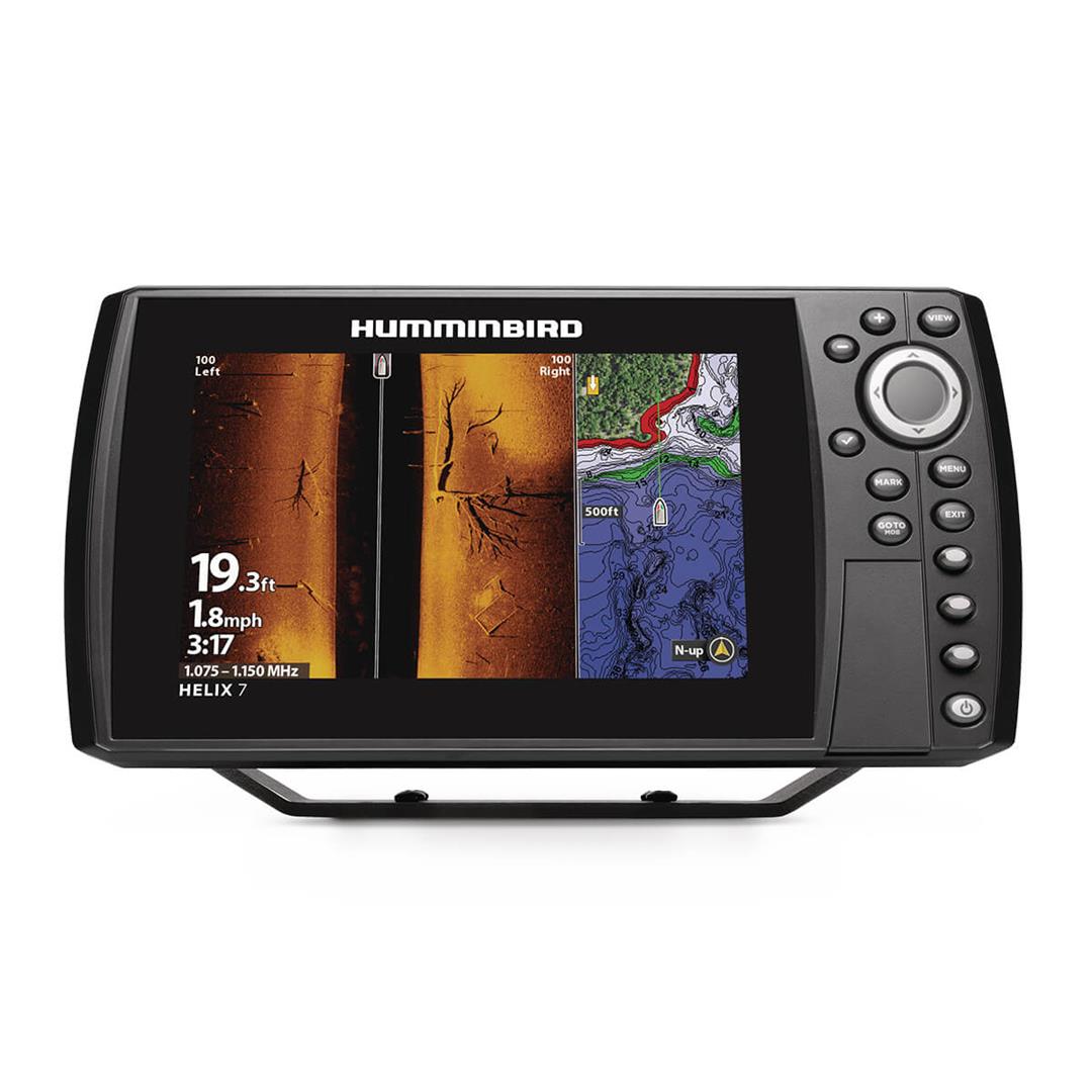
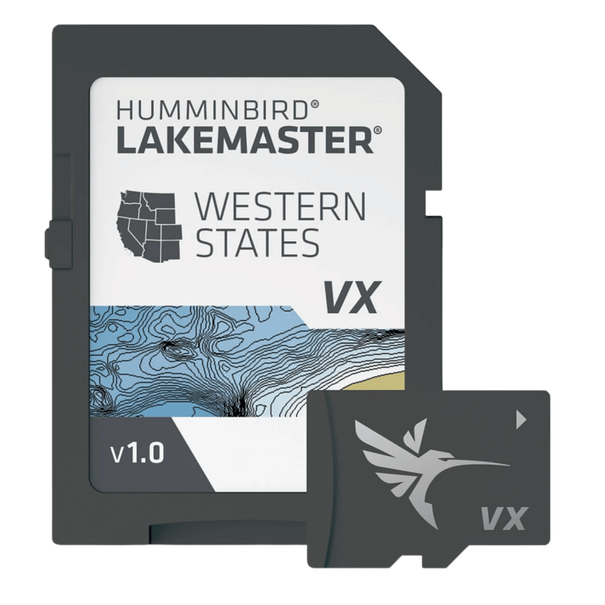
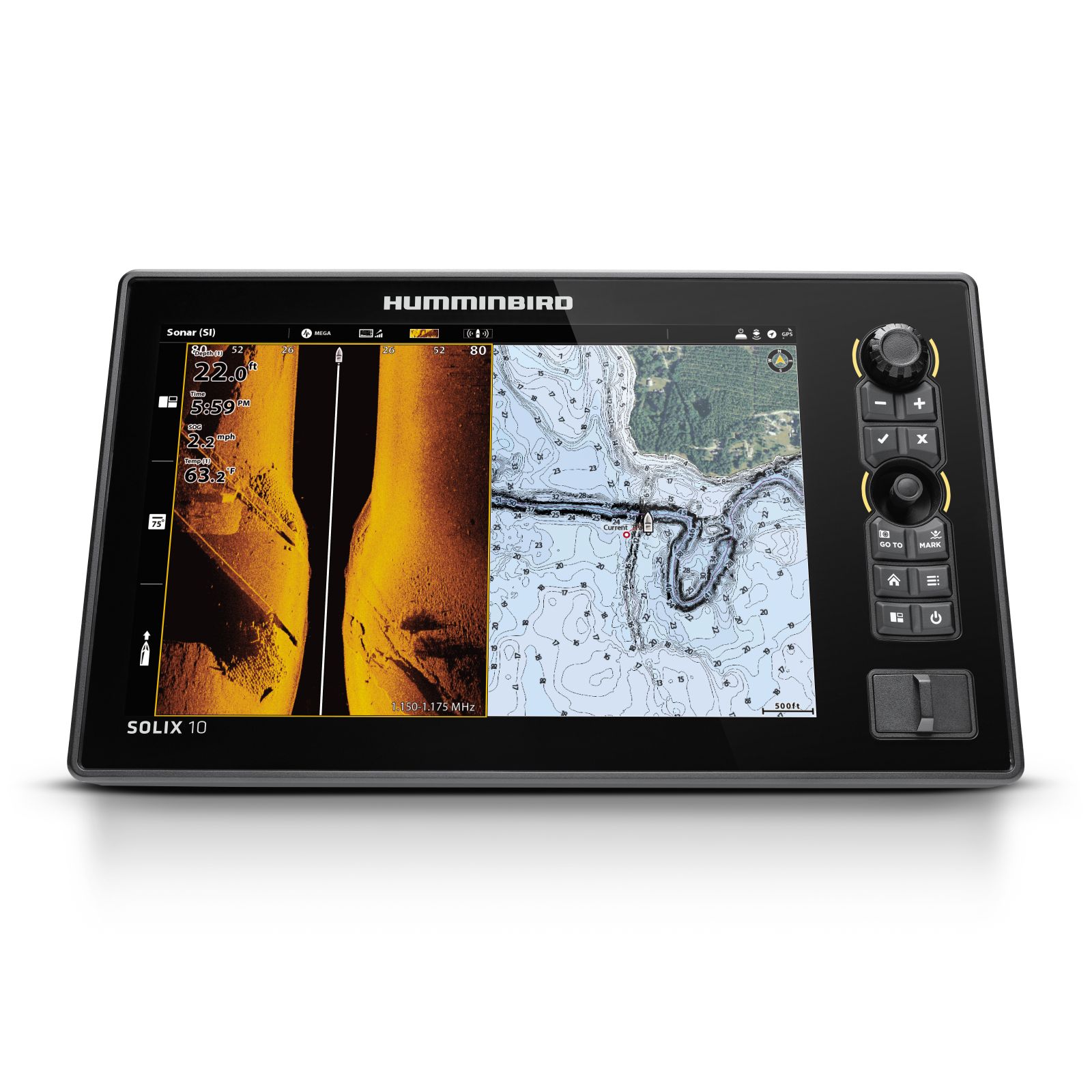
The LakeMaster VX Premium - Mid-Atlantic States is a premium mapping card for Humminbird fish finders. It uses VX Technology, which provides map performance and five customizable color palettes. The maps are often collected by a team of GIS analyst cartographers.
SmartStrike lets you enter the season, time of day, temperature and targeted fish species. It then creates a custom chart that highlights areas where fish are most likely biting. SmartStrike works on select HD lakes only.
The Premium version adds 2D Shaded Relief and Aerial Imagery to the standard LakeMaster features. Shallow Water Highlight shades shallow water red on an adjustable range from 0 to 60 feet. Water Level Offset syncs the depth contours and shorelines with the actual water levels of lakes, reservoirs and rivers.
- Model
- 602004-1
- Region
- Mid-Atlantic States
- Edition
- LakeMaster VX Premium
- Compatibility
- Humminbird HELIX G3/G3N and newer, all SOLIX units, all APEX units
- Included features
- VX Technology, SmartStrike, Chart Presets, Depth Highlight, Shallow Water Highlight, Water Level Offset, One-Boat Network
- Premium features
- 2D Shaded Relief, Aerial Imagery
- One-Boat Network
- Connects the chart and a Minn Kota trolling motor so the boat can automatically follow a depth contour line
- Warranty
- 1-year cartography warranty