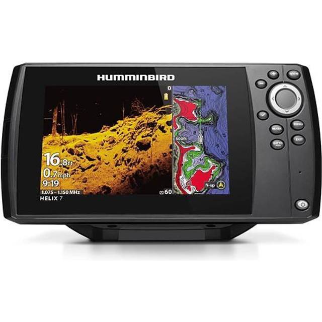
The Humminbird XPLORE 9 CMSI+ is a 9-inch fish finder with built-in GPS and mapping. It uses the Cross Touch interface, so you can control it by touchscreen or with keys. It comes with the XM 14 HW CMSI T transducer, which is transom-mounted.
The unit offers MEGA Side Imaging+ and MEGA Down Imaging+. MEGA Down Imaging+ adds 20% more detail and 60% more range than standard MEGA, and reaches up to 200 feet down. Dual Spectrum CHIRP provides traditional 2D views. Wide mode covers broad areas, and narrow mode separates individual targets down to 2.5 inches. Views can be shown side by side on a split screen.
Built-in GPS works with Humminbird Basemap, which covers over 10,000 lakes and U.S. coastal areas. LakeMaster and CoastMaster cards for 13 U.S. and Canada regions are included. AutoChart Live logs depth, hardness and vegetation as you move to build custom maps. The unit connects over Ethernet, Bluetooth, Wi-Fi and NMEA 2000, and it can be networked with other compatible gear.
- Display
- 9-inch diagonal Full HD color TFT, 1280 x 720, 24-bit color
- Sonar
- MEGA Side Imaging+, MEGA Down Imaging+, Dual Spectrum CHIRP
- Down imaging range
- Up to 200 ft
- Depth
- 1200 ft standard, up to 3500 ft optional
- Power output
- 1000W RMS / 8000W peak-to-peak
- Transducer
- XM 14 HW CMSI T (included), transom mount
- GPS and maps
- Internal GPS, Humminbird Basemap, LakeMaster and CoastMaster cards for 13 U.S. and Canada regions
- AutoChart Live
- 8 hours of storage, expandable via SD card
- Waypoints
- 10,000
- Connectivity
- Ethernet, Bluetooth, Wi-Fi, NMEA 2000